

Most people treat the driving here as the part between the wineries. That’s backwards. Here are the drives that you’ll want to do every season.
Wilsonville Road
Wilsonville to Newberg · About 20 minutes · MAP
The most useful beautiful drive in the valley. It connects I-5 to Newberg without putting you on 99W, which means you skip the Sherwood traffic entirely — and you get farmland, river bends, equestrian farms, vineyards and hazelnut orchards instead of a highway. Take the Wilsonville exit on I-5 and drive west.
I send people this way constantly, especially arriving from Portland during rush hour. It’s the same distance and half the aggravation. Take it slow; there are farm stands worth stopping at, and the road curves enough that speeding isn’t fun anyway.
Butteville Road
Off Wilsonville Road, toward Champoeg · A short detour · MAP
Just over the Willamette River on I-5, take the Charbonneau exit and you drop into one of the oldest settled corners of Oregon. The road runs through Champoeg State Park and past the Butteville General Store, which has been operating since 1863 and now serves homemade ice cream and sandwiches.
This was river country before it was wine country — sternwheelers, warehouses, a whiskey distillery. The town receded for a variety of reasons, and what’s left is quiet in a way that feels older than the rest of the valley.
Take a drive through Champoeg Park to see where Oregon’s first government was formed. Oak groves, pastures, and a blast into the past.
Worden Hill Road
Dundee Hills · 10 minutes end to end, longer if you stop · MAP
If you only drive one road here, drive this one. It climbs out of Dundee into the heart of the Dundee Hills, and the concentration of good wine along it is absurd. The blue (winery) signs are everywhere directing you to the dozens of acclaimed tasting rooms new and old.
Mountain Top Road
Chehalem Mountains · Newberg side · MAP
The high one. Mountain Top climbs the spine of the Chehalem Mountains and delivers the widest views in the northern valley — on a clear day you’ll see the Cascades, hot air balloons rising in the distance, or in the wintertime, the blanket of fog hugging the valley below.
It’s a working road through working vineyards, not a scenic byway with pullouts, so be courteous about where you stop. But it’s the drive I take when someone visits and I want them to understand the geography in one shot. Nothing explains an AVA like getting above it. Stay at the Chehalem Ridge B&B and you’ll have the best views for your entire stay.

Scholls Ferry Road
Newberg to Scholls · About 25 minutes · MAP
The back way in from Portland’s west side, running through the farm community of Scholls and over Chehalem Mountain. You’ll pass blue winery signs the whole way — Ponzi, Raptor Ridge, and others — and the transition from suburb to farmland is striking. It’s how you know you’re finally on vacation.
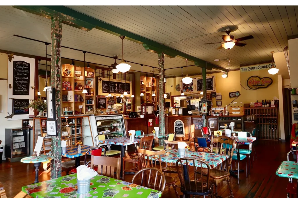
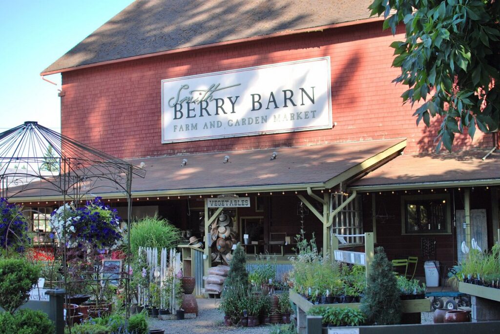
Two essential stops sit right next to each other on this road: The South Store Cafe in an old general store, and Smith Berry Barn, a red barn selling u-pick berries and marionberry milkshakes. Breakfast at one, dessert at the other.
North Valley Road and Ribbon Ridge
Newberg toward Carlton · MAP
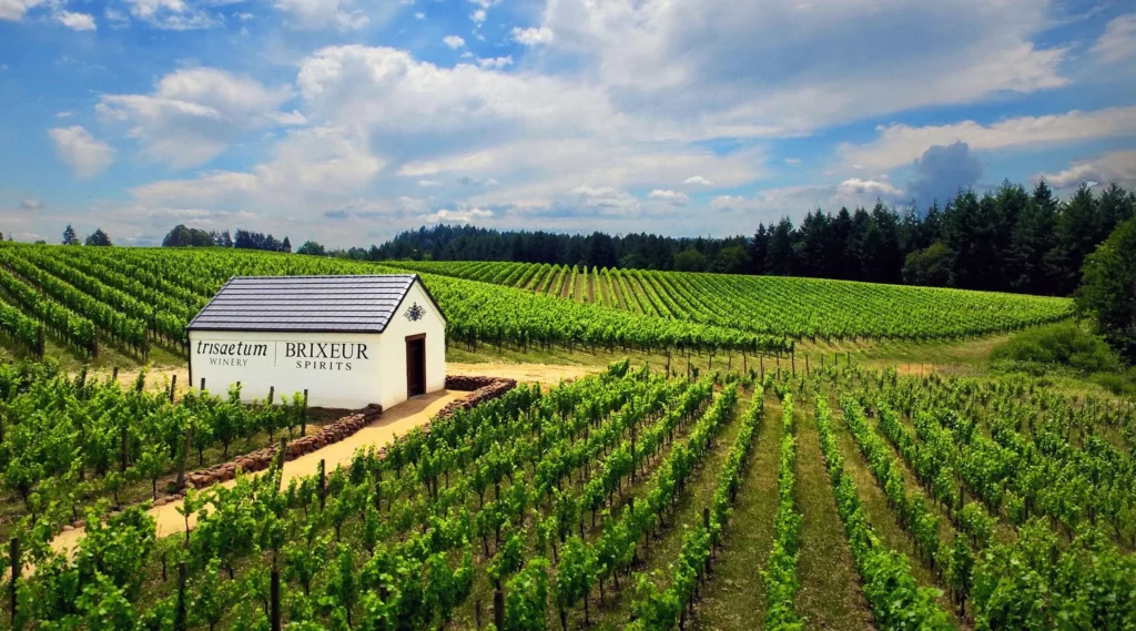
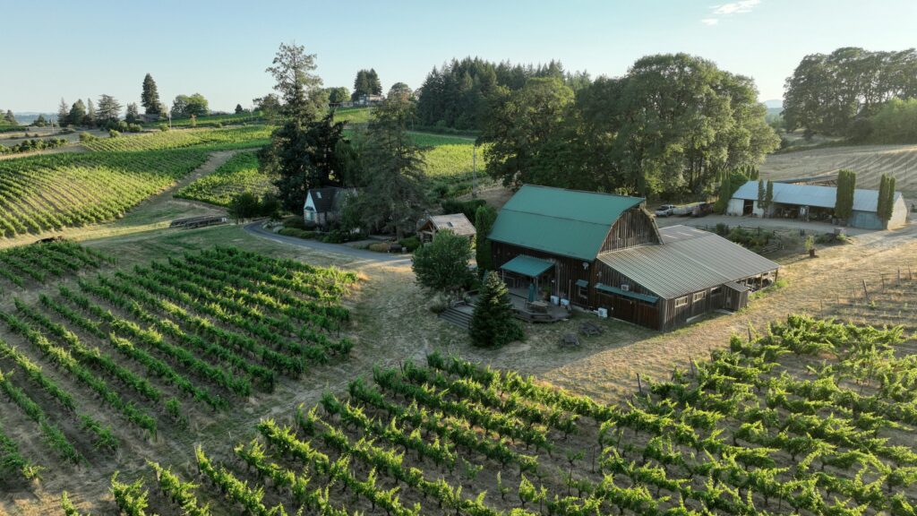
Take North Valley Road west out of Newberg and you’re in some of the prettiest and least-trafficked farmland in the county. It connects to Ribbon Ridge Road, which climbs the smallest AVA in the Willamette Valley — a single ridge of ancient marine sediment surrounded on all sides by different soil.
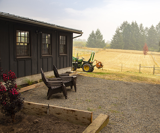
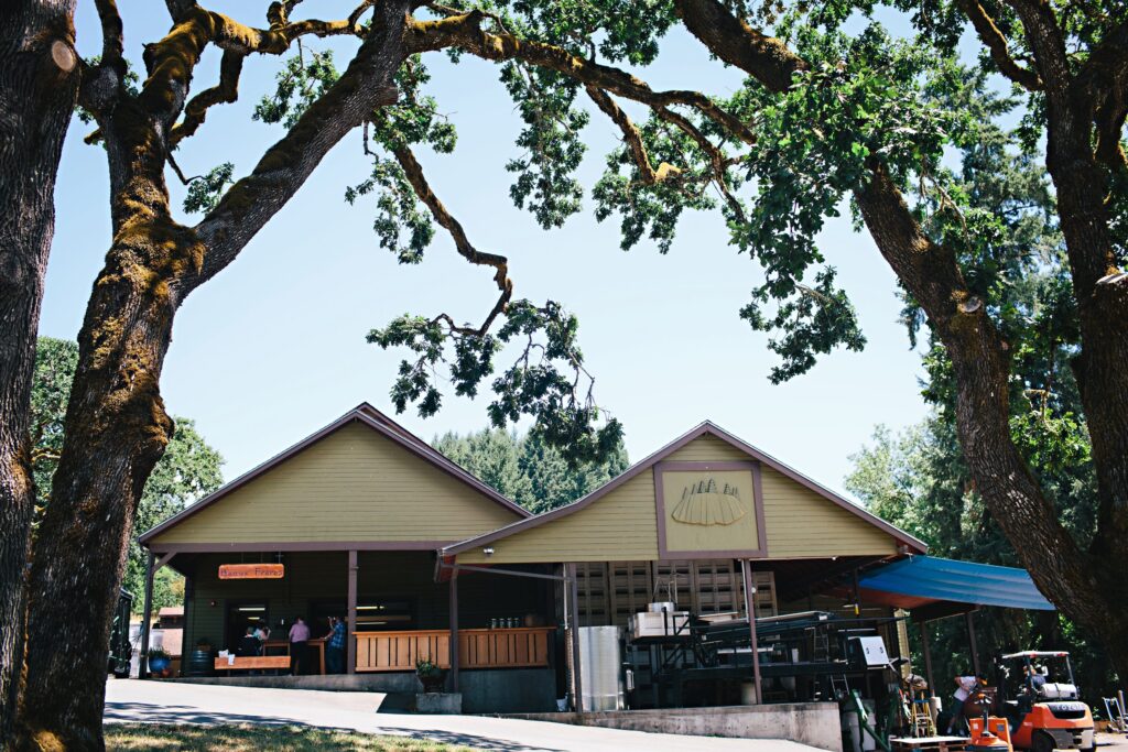
Trisaetum, Brickhouse, Killdeer Distilling and Beaux Frères are up here. So are a lot of vines belonging to people with no tasting room at all, which is part of what makes it feel private.
A few more worth knowing
Highway 240, Newberg to Yamhill · MAP — the middle route across the county, past Ray’s Produce at the Newberg end and into open farm country.
Abbey Road, Carlton to Lafayette · MAP — rolling, quiet, and it passes Abbey Road Farm.
Bell Road, Chehalem Mountains · MAP — short, narrow, and home to Privé and Sealionne and some of the oldest vines in the AVA.
Highway 18 west from McMinnville · MAP — technically the road to the coast, and home of the McMinnville AVA. Lots of farm stands, u-pick flowers, and of course wineries tucked away in the hills.
Driving here: a few honest notes
These roads are narrow and unlit. Blind curves, no shoulders, and farm equipment that appears without warning. Drive them in daylight your first time.
Don’t drive them after tasting. This is the real reason to hire a driver on your big wine day. The scenery that makes these roads worth taking is the same terrain that makes them unforgiving.
Cell service drops up in the hills. Screenshot your directions before you climb.
Pull all the way off to take photos. There’s usually less shoulder than there appears to be, and locals are moving at speed because they know the road.
Fall is the best light, spring is the best green. Harvest turns the hills gold and fills the roads with trucks — beautiful, slower, and worth it.
Not sure which route fits your day? Tell me where you’re coming from and where you’re headed, and I’ll route you. Text (503) 308-8823.